How sea level rise might impact NYC neighborhoods
Tech companies are often heralded for their prescience, but it seems that some of today's biggest innovators haven't anticipated a crisis that's just around the bend. The Next Web reports that according to the scientific group Our Coast Our Future, climate change may put significant parts of Silicon Valley underwater. OCOF projects that as sea levels rise, companies like Facebook--which recently expanded its Menlo Park facility--are vulnerable to flooding along the San Francisco Bay shoreline. The article notes that climate change experts' most modest estimates have water levels rising by 1.6 feet by the end of the century, and even that would inundate Facebook's newest home.
What might this mean for our own coastal city? OCOF's projections are focused on California, but there are tools that predict the impact of global warming on the New York area. Climate Central, for instance, another independent consortium of scientists, projects a 3.9-foot increase in the sea levels around NYC, and a 100 percent likelihood of floods exceeding six feet by the year 2100.

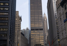
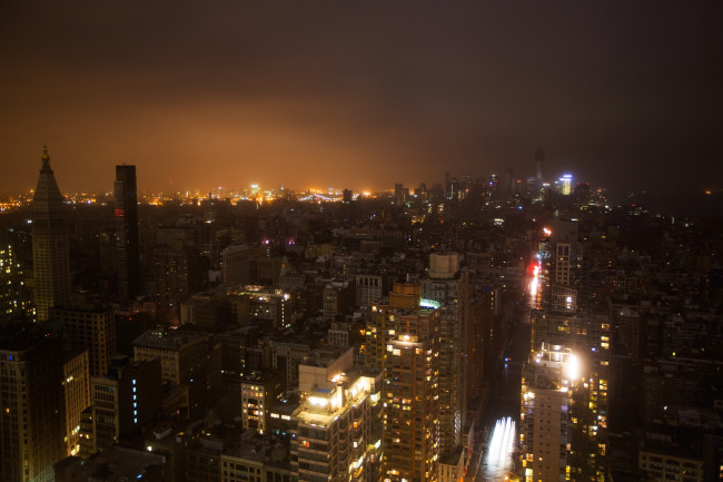
Such a tidal surge would deluge some of the busiest and most developed corners of New York, reaching Water Street in the Financial District, large chunks of the East Village--including a Con Ed plant on East 14th Street--portions of FDR Drive, much of the Greenpoint and Williamsburg waterfronts where residential development has been booming, LaGuardia Airport, and unfortunately, much more. Climate Central's interactive map allows you to explore further how various levels of flooding could impact your neighborhood.
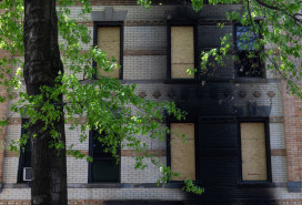
2012's Hurricane Sandy made it viscerally apparent to New Yorkers how far-reaching flood damage can be--the L train shutdown, for instance, which the MTA says is crucial for repairing the storm-ravaged Canarsie Tubes, will inconvenience thousands of Brooklynites and potentially last for years.
The National Oceanic and Atmospheric Administration (NOAA) is developing resources to help residents better prepare for events like Sandy in the future, and notes that the most at-risk areas for further flooding include "the Brooklyn-Queens Waterfront, the East and South Shores of Staten Island, South Queens, Southern Brooklyn, and Southern Manhattan."
For its part, the Mayor's Office of Recovery & Resiliency has a number of projects underway that are designed to protect waterfront areas, including new flood-protection infrastructure like multi-purpose levees. At this point, the emphasis appears to be on protection rather than prevention, suggesting that sea level rise--and its attendant risks--is increasingly seen as an inevitability.
You Might Also Like


